Mapbox
Mapbox Light and Dark Redesign
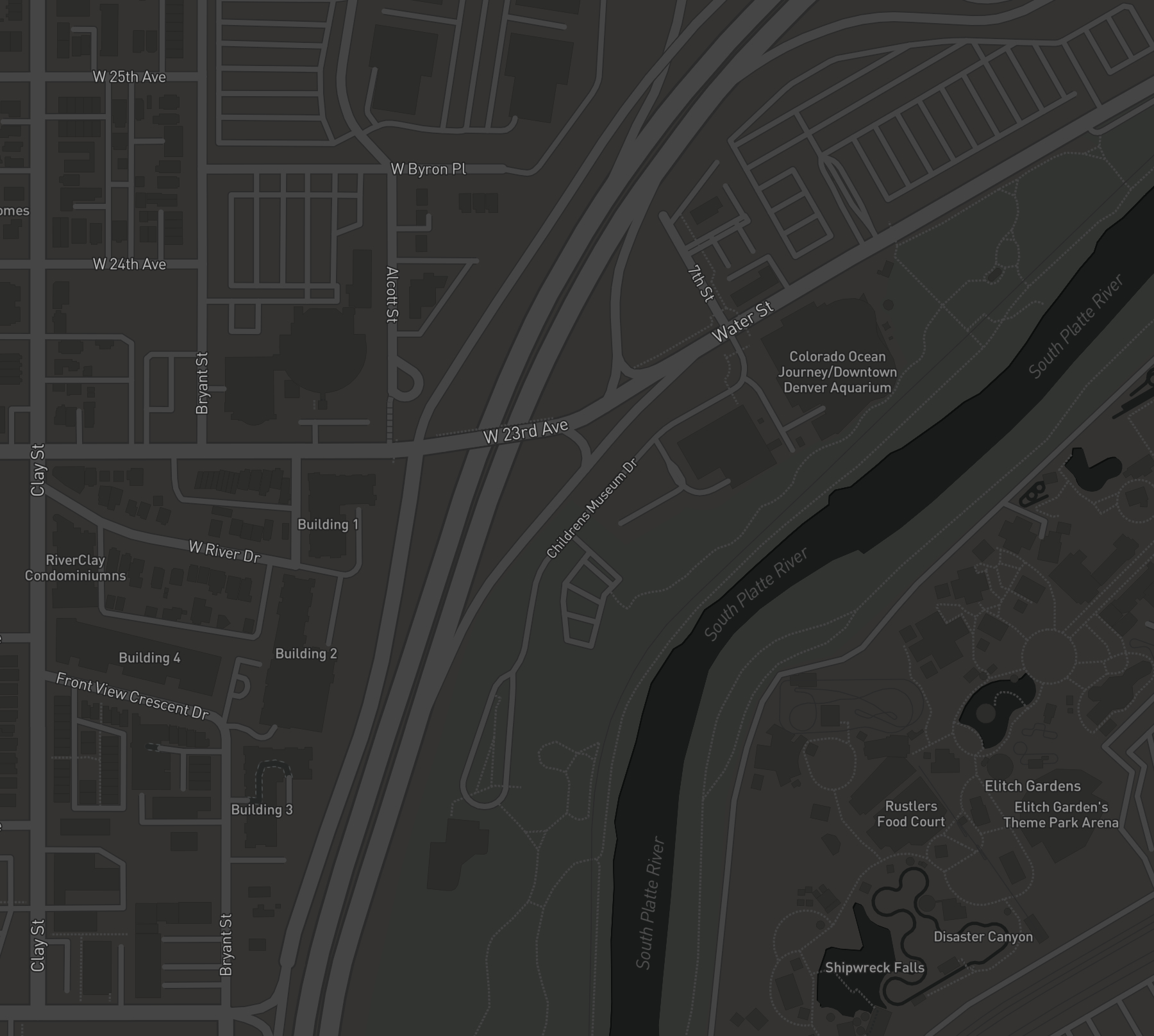
I led the most recent redesign of Mapbox's Light and Dark core styles. This project included evaluating the existing styles, developing strategies to improve their design and take advantage of new data features, communicating these strategies to the broader team and company, implementing and testing the new designs, and finally executing a plan for communicating these improvements to Mapbox's customers.
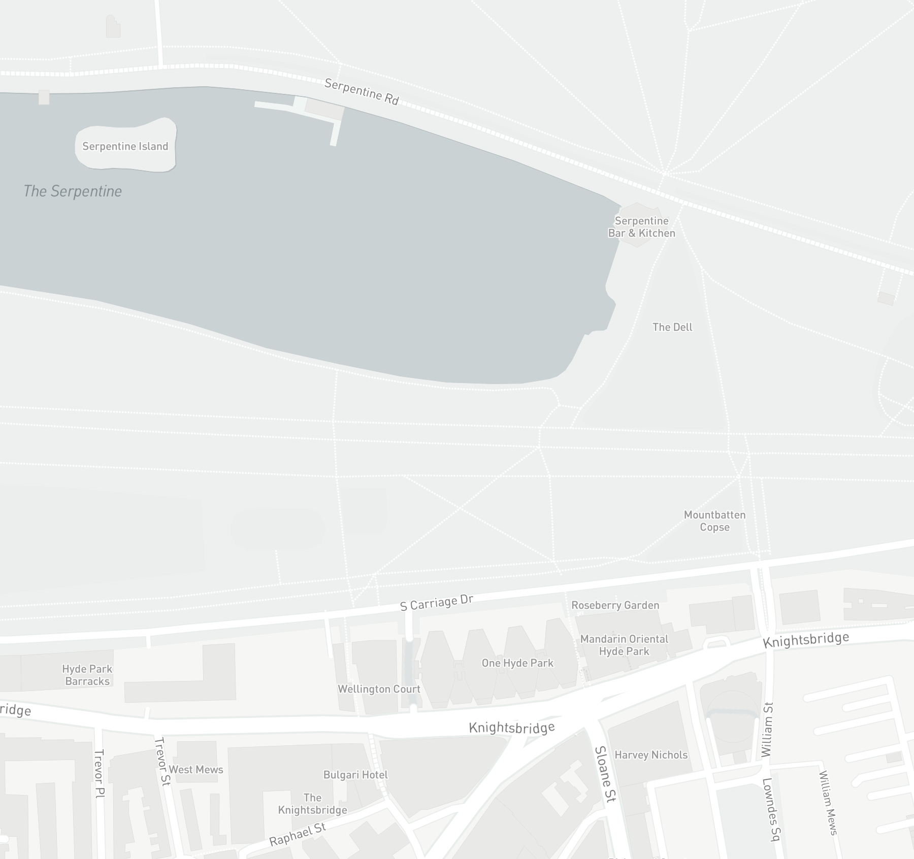
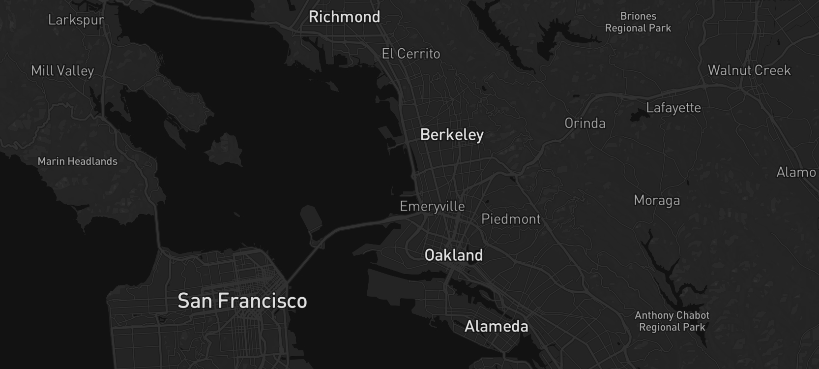
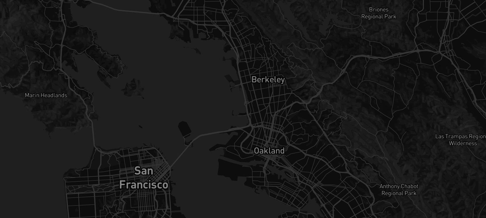
Mapbox Light and Dark maps are designed to complement a wide variety of visualizations and overlays. This redesign took place in the context of a larger effort to optimize all Mapbox maps for use in mobile environments and was focussed on providing better context to overlaid content. Two major updates define this redesign: an increase in feature data density, and an overhaul of both maps' color systems.
Mapbox Light and Dark maps are designed to complement a wide variety of visualizations and overlays. This redesign took place in the context of a larger effort to optimize all Mapbox maps for use in mobile environments and was focussed on providing better context to overlaid content. Two major updates define this redesign: an increase in feature data density, and an overhaul of both maps' color systems.
Owing to their need to support overlaid data, the Light and Dark styles are designed to have fewer features than Mapbox Streets and Outdoors. However, on smaller screens, the context they provide was not effective, and an increase in the type and quantity of features was necessary to make the maps useful in mobile environments.
As their names suggest, Mapbox Light and Dark operate within relatively constrained color spaces, but the unique demands of mobile usage - a smaller screen, less surrounding context - highlighted a need for easier differentiation of features like parks, water, buildings, and land uses. Both existing color palettes were grayscale, and this redesign employed slight variations in saturation and hue to improve the legibility of each element and a greater sense of overall depth.
As their names suggest, Mapbox Light and Dark operate within relatively constrained color spaces, but the unique demands of mobile usage - a smaller screen, less surrounding context - highlighted a need for easier differentiation of features like parks, water, buildings, and land uses. Both existing color palettes were grayscale, and this redesign employed slight variations in saturation and hue to improve the legibility of each element and a greater sense of overall depth.
Mapbox Light and Dark. Follow the link to learn more.
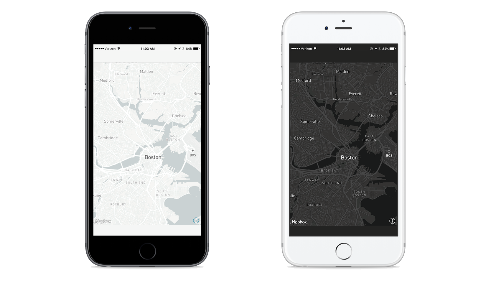
Mapbox Light updated color scheme, redesign on top
Mapbox Dark showing denser features, redesign on top
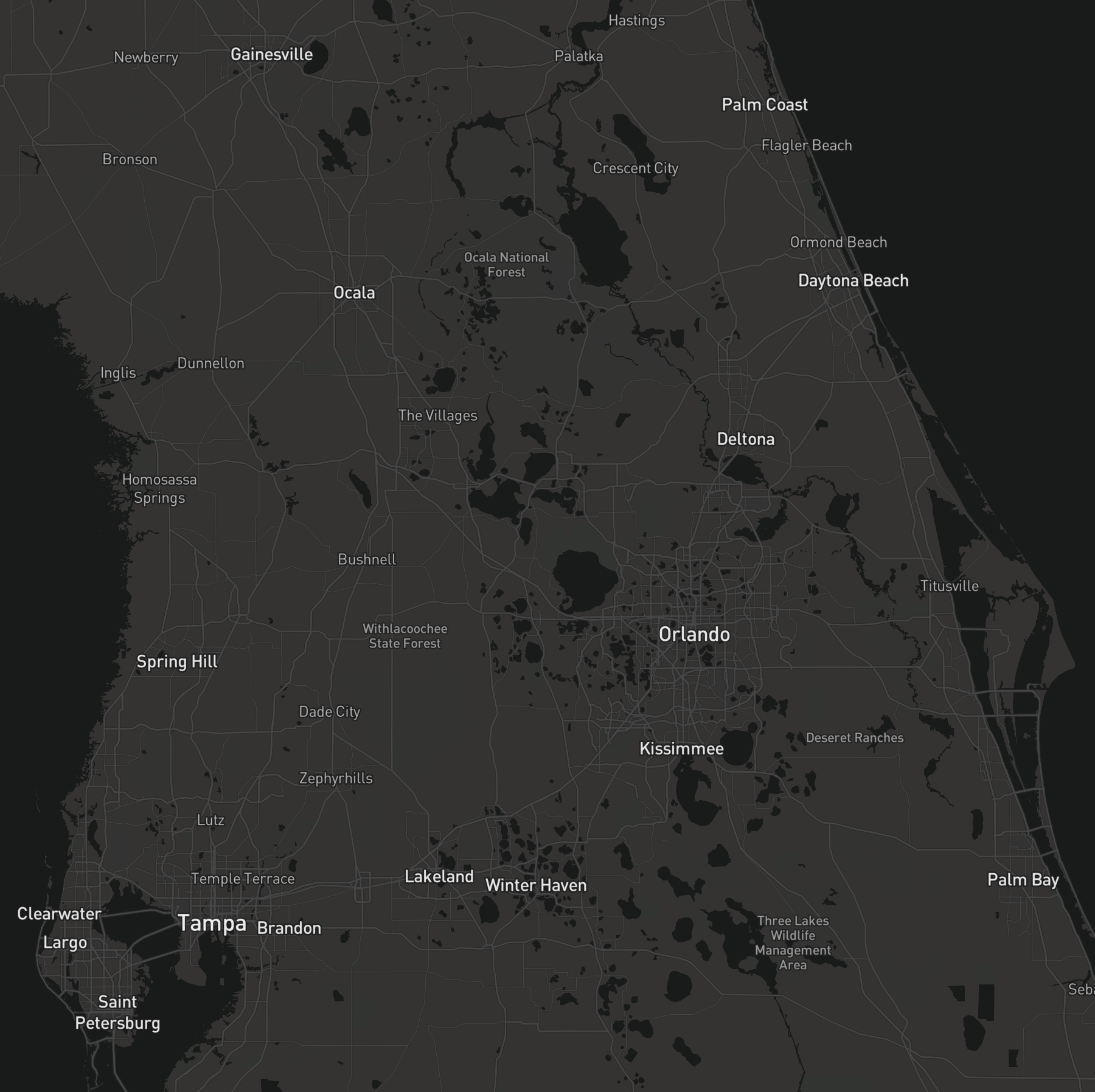
Mapbox Dark - Central Florida
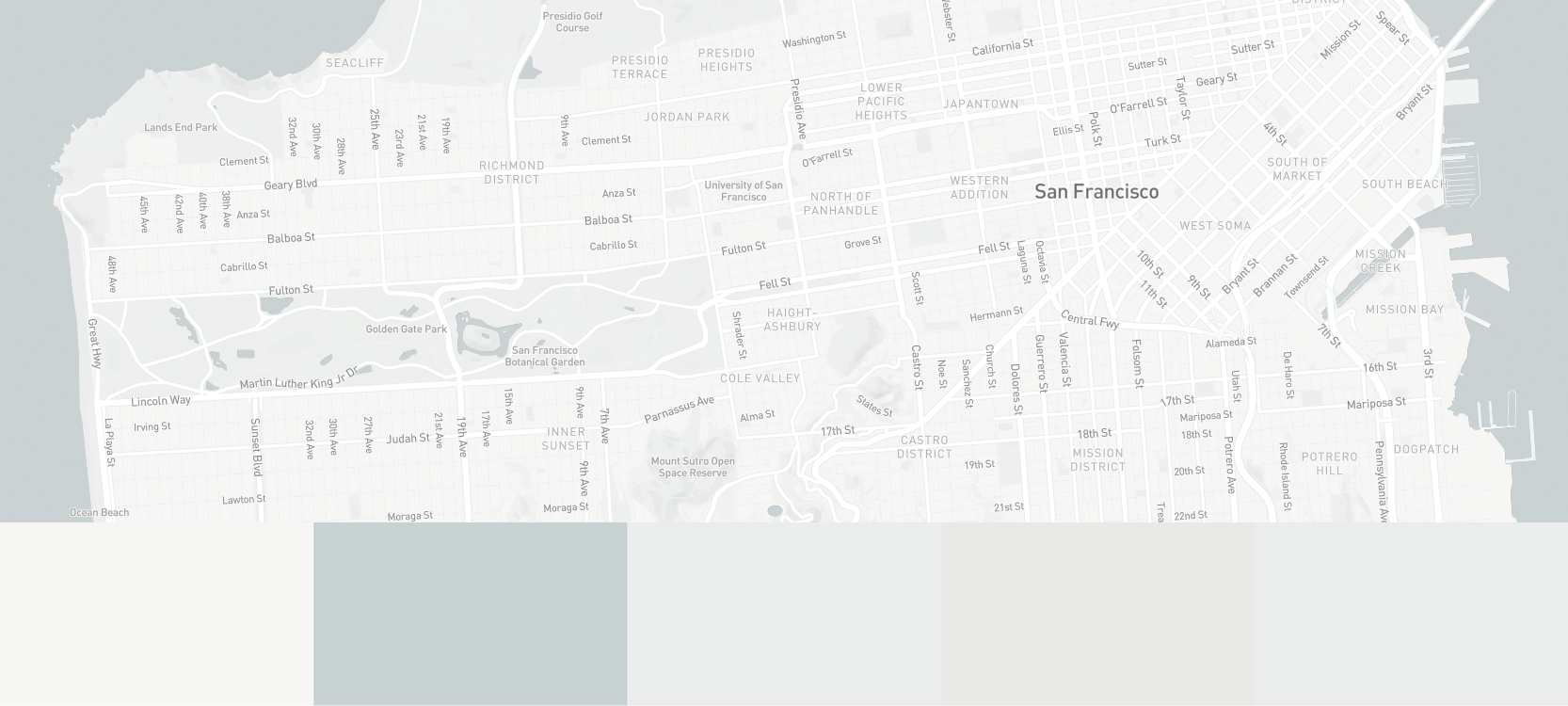
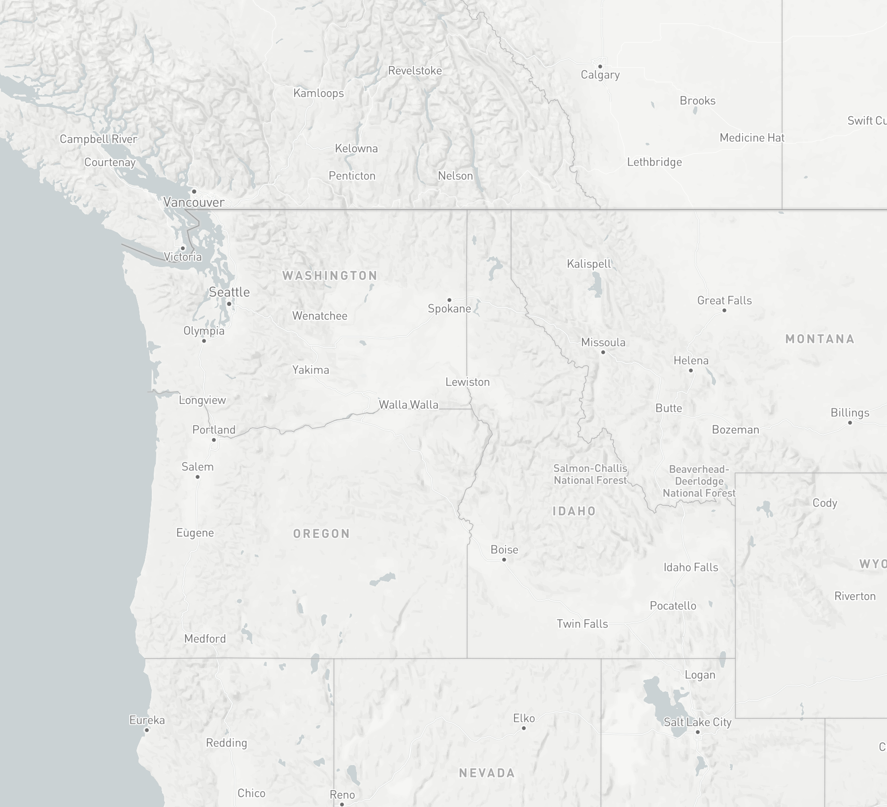
Mapbox Light - Western North America
Mapbox Dark - Denver
Mapbox Light - London